North Carolina Airport ONX Currituck County

North Carolina Airport Guide

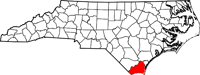
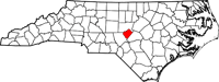
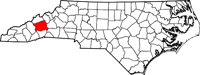
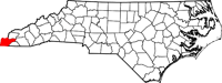
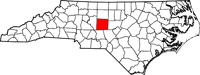
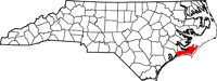
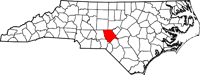
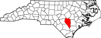
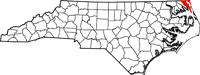
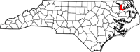
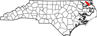
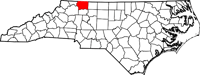
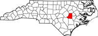
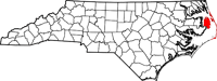
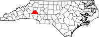
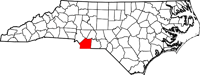
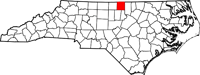
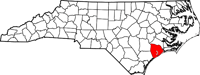
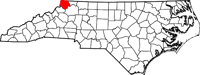
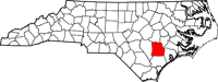
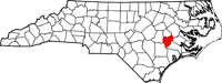
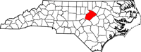
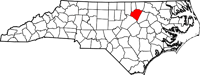
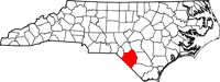
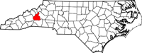
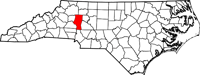
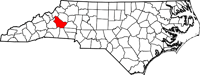
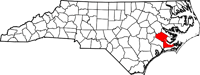
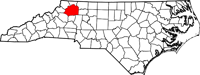
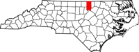
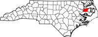
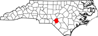
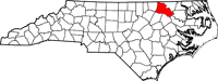
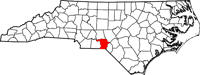
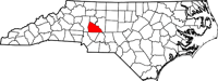
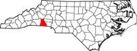
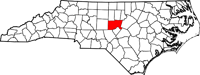
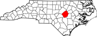
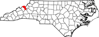
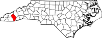
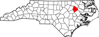
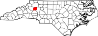
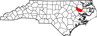
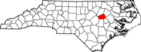
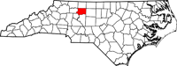
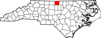
All North Carolina airports are listed alphabetically by their location and separated into general categories. All entries are searchable by entering any word or airport code into the search box.  Links include the airport's website and/or Facebook page, Federal Aviation Administration (FAA) information page and the AirNav information page. Maps represent the airport's county and not the specific address or location. If you have any additions/corrections/changes to submit, please contact us.

Tri-County Airport (ASJ)

AHOSKIE, NC 

hertford map


Asheville_Regional_Airport_logo

Asheville Regional Airport (AVL)

ASHEVILLE, NC 

buncombe map

Stanly_County_Airport_logo

Stanly County Airport (VUJ)

ALBEMARLE, NC 

stanly map

RHP

Western Carolina Regional Airport (RHP)

ANDREWS , NC 

cherokee map

Asheboro Regional Airport (HBI)

ASHEBORO, NC 

randolph map

Bladenboro Airport (3W6)

BLADENBORO, NC 

bladen map

Michael J Smith Field (MRH)

BEAUFORT, NC 

carteret map

Gilliam-McConnell Airfield (BQI)

CARTHAGE, NC 

moore map

Burlington-Alamance Airport (BUY)

BURLINGTON, NC 

640px-Map_of_North_Carolina_highlighting_Alamance_County.svg

200px-Charlotte_Douglas_International_Airport_logo.svg

Charlotte/Douglas International Airport (CLT)

CHARLOTTE, NC 

mecklenburg

Clinton-Sampson County Airport (CTZ)

CLINTON, NC 

sampson map

Concord-Padgett Regional Airport (JQF)

CONCORD, NC 

cabarrus map

Currituck County Regional Airport (ONX)

CURRITUCK, NC 

currituck map-1

Northeastern Regional Airport (EDE)

EDENTON, NC 

chowan map

220px-Elizabeth_City_Regional_Airport_logo

Elizabeth City CGAS/Regional Airport (ECG)

ELIZABETH CITY, NC 

pasquotank map

Curtis L. Brown Field (EYF)

ELIZABETHTOWN, NC 

bladen map

Elkin Municipal Airport (ZEF)

ELKIN, NC 

surry map

Hyde County Airport (7W6)

ENGELHARD, NC 

hyde map

Harnett Regional Jetport (HRJ)

ERWIN, NC 

harnett map

Flanagan Field (N08)

FARMVILLE, NC 

pitt map

Screen Shot 2021-03-03 at 3.54.45 PM

Fayatteville Regional/Grannis Field (FAY)

FAYETTEVILLE, NC 

cumberland map

Grays Creek Airport (2GC)

FAYETTEVILLE, NC 

cumberland map

Macon County Airport (1A5)

FRANKLIN, NC 

macon map

Gastonia Municipal Airport (AKH)

GASTONIA, NC 

gaston map

Wayne Executive Jetport (GWW)

GOLDSBORO, NC 

wayne map

GSO

Piedmont Triad International Airport (GSO)

GREENSBORO, NC 

guilford map

Air Harbor (W88)

GREENSBORO, NC 

guilford map

Billy Mitchell Airport (HSE)

HATTERAS, NC 

dare map

Southeast Greensboro (3A4)

GREENSBORO, NC 

guilford map

PGV

Pitt-Greenville Airport (PGV)

GREENVILLE, NC 

pitt map

Hickory Regional Airport (HKY)

HICKORY, NC 

catawba map

Hendersonville Airport (0A7)

HENDERSONVILLE, NC 

henderson map

Wilson's Airport (E40)

HICKORY, NC 

catawba map

28A

Goose Creek Airport (28A)

INDIAN TRAIL, NC 

union map

Whitfield Farms Airport (4W4)

HURDLE MILLS, NC 

person map

Holly Ridge/Topsail Island Airport (N21)

HOLLY RIDGE, NC 

onslow map

Sky Manor Airport (N22)

JACKSONVILLE, NC 

onslow map

OAJ

Albert J. Ellis Airport (OAJ)

JACKSONVILLE, NC 

onslow map

Ashe County Airport (GEV)

JEFFERSON, NC 

ashe county map

Swan Creek Airport (78A)

JONESVILLE, NC 

yadkin map

Kecks Airport (N88)

JULIAN, NC 

guilford map

Duplin County Airport (DPL)

KENANSVILLE, NC 

duplin map

First Flight Airport (FFA)

KILL DEVIL HILLS, NC 

dare map

Kinston Regional Jetport at Stallings Field (ISO)

KINSTON, NC 

lenoir map

Raleigh East Airport (W17)

KNIGHTDALE, NC 

wake map

Davidson County Airport (EXX)

LEXINGTON, NC 

davidson map

Hinshaw (Greenacres) Airport (N61)

LIBERTY, NC 

randolph map

Causey Airport (2A5)

LIBERTY, NC 

randolph map

Lincolnton-Lincoln County Regional Airport (IPJ)

LINCOLNTON, NC 

lincoln map

Triangle North Executive Airport (LHZ)

LOUISBURG, NC 

franklin map

Lumberton Regional Airport (LBT)

LUMBERTON, NC 

robeson map

Laneys Airport (N92)

MAIDEN, NC 

catawba map

Dare County Regional Airport (MQI)

MANTEO, NC 

dare map

Shiflet Field (9A9)

MARION, NC 

mcdowell map

Laurinburg-Maxton Airport (MEB)

MAXTON, NC 

robeson map

Charlotte-Monroe Executive Airport (EQY)

MONROE, NC 

union map

Twin Lakes Airport (8A7)

MOCKSVILLE, NC 

davie map

Lake Norman Airpark (14A)

MOORESVILLE, NC 

iredell map

Foothills Regional Airport (MRN)

MORGANTON, NC 

burke map

Mount Airy/Surry County Airport (MWK)

MOUNT AIRY, NC 

surry map

Mount Olive Municipal Airport (W40)

MOUNT OLIVE, NC 

duplin map

EWN

Coastal Carolina Regional Airport (EWN)

NEW BERN, NC 

craven map

Wilkes County Airport (UKF)

NORTH WILKESBORO, NC 

wilkes map

SUT

Cape Fear Regional Jetport/Howie Franklin Field (SUT)

OAK ISLAND, NC 

brunswick map

DS Butler Farms and Airfield (N83)

OAK RIDGE, NC 

guilford map

Odell Williamson Municipal Airport (60J)

OCEAN ISLE BEACH, NC 

brunswick map

Henderson-Oxford Airport (HNZ)

OXFORD, NC 

granville map

Derby Aerodrome (N26)

PINEHURST, NC 

moore map

Ocracoke Island Airport (W95)

OCRACOKE, NC 

hyde map

Donald's Air Park (7NC)

PLYMOUTH, NC 

washington map

Plymouth Municipal Airport (PMZ)

PLYMOUTH, NC 

washington map

Moore County Airport (SOP)

PINEHURST/SOUTHERN PINES, NC 

moore map

PK Airpark (5W4)

RAEFORD, NC 

hoke map

Triple W Airport (5W5)

RALEIGH, NC 

wake map

RDU

Raleigh-Durham International Airport (RDU)

RALEIGH/DURHAM, NC 

wake map

Rockingham County-NC Shiloh Airport (SIF)

REIDSVILLE, NC 

rockingham map

Warf Airport (6A5)

REIDSVILLE, NC 

rockingham map

Halifax-Northampton Regional Airport (IXA)

ROANOKE RAPIDS, NC 

halifax map

Rocky Mount-Wilson Regional Airport (RWI)

ROCKY MOUNT, NC 

nash map

Richmond County Airport (RCZ)

ROCKINGHAM, NC 

richmond map

Adams Airport (8NC)

ROWLAND, NC 

robeson map

Rutherford County-Marchman Field (FQD)

RUTHERFORDTON, NC 

rutherford map

Person County Airport (TDF)

ROXBORO, NC 

person map

Mid-Carolina Regional Airport (RUQ)

SALISBURY, NC 

rowan map

TTA

Raleigh Executive Jetport at Sanford-Lee County (TTA)

SANFORD, NC 

lee map

Shelby-Cleveland County Regional (EHO)

SHELBY, NC 

cleveland map

Siler City Municipal Airport (SCR)

SILER CITY, NC 

chatham map

Johnston Regional Airport (JNX)

SMITHFIELD, NC 

johnston map

Avery County/Morrison Field (7A8)

SPRUCE PINE, NC 

mitchell map

Montgomery County Regional Airport (43A)

STAR, NC 

montgomery map

Statesville Regional Airport (SVH)

STATESVILLE, NC 

iredell map

Jackson County Airport (24A)

SYLVA, NC 

jackson map

Tarboro-Edgecombe Airport (ETC)

TARBORO, NC 

edgecombe map

Taylorsville Airport (NC2)

TAYLORSVILLE, NC 

alexander

Hiatt Airport (N97)

THOMASVILLE, NC 

davidson map

Anson County Airport - Jeff Cloud Field (AFP)

WADESBORO, NC 

anson county map

Henderson Field (ACZ)

WALLACE, NC 

duplin map

Meadow Brook Field (N63)

WALNUT COVE, NC 

stokes map

OCW

Washington-Warren Airport (OCW)

WASHINGTON, NC 

beaufort map

JAARS-Townsend Airport (N52)

WAXHAW, NC 

union map

Columbus County Municipal Airport (CPC)

WHITEVILLE, NC 

columbus map

Martin County Airport (MCZ)

WILLIAMSTON, NC 

martin map

ILM

Wilmington International Airport (ILM)

WILMINGTON, NC 

new hanover map

Wilson Industrial Air Center (W03)

WILSON, NC 

wilson map

Smith Reynolds Airport (INT)

WINSTON-SALEM, NC 

forsyth map

South Oaks Aerodrome (05N)

WINTERVILLE, NC 

pitt map

Lone Hickory Airport (80C)

YADKINVILLE, NC 

yadkin map

Caswell Airport (6W4)

YANCEYVILLE, NC 

caswell map

Pine Island Airport (7NC2)

COROLLA, NC 

currituck map-1